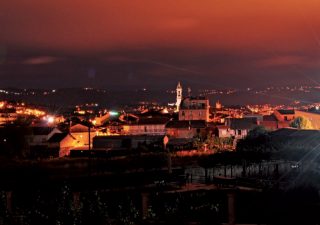
Ourense Periurban Track
A route through the green belt that surrounds the city, with nature and small villages where you can enjoy the traditional architecture of rural Galician.
The Ourense valley is surrounded and protected by a green belt of hills where it is still possible to find small villages that retain the charm of rural Galicia. In this route you will pass through several of them, so we recommend that you do it calmly by making stops to discover a facet of the city that not many people know.
The circular route proposed here is only an outline and offers many variations. In Wikiloc you can see in detail the proposal from the Club Alpino Ourensano.
Distance: 20-27 km
Difficulty: Moderate
Time: 5-6 hours
Old Bridge
Portovello Chapel
Mende
Santomé
Castadón Reservoir
Ceboliño
Montealegre
Santa Mariña - O Monte
Zaín
Seixalbo
Barbana River
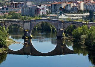
We start the route on the majestic Old Bridge, from where we will continue along the left bank of the river to the mouth of river Lonia. Here we will go back the course of the tributary until arriving to Mende public school.
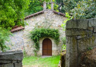
Before arriving to the mouth of river Lonia we will pass next to the Portovello Chapel, which recalls that there was years ago a port to service the boats that transported goods through river Minho. It was not the only one; ther was also the Auriense Port, which we have just left behind, as it was next to the Old Bridge.
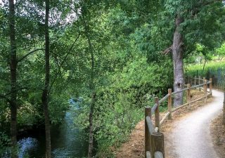
Following the course of river Lonia we will arrive to the school of Mende, where a narrow path will take us to Verea Vella, a slab road through which we will begin the ascent to the archaeological-natural site of Santomé. When reaching the crossroads, we must continue along the track on the right.
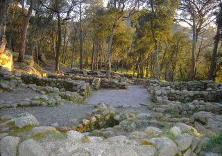
Walking through a forest of cork oaks and pines we will reach the old settlement. After visiting it we will descend in the direction to the Lonia until we reach the Castadón reservoir. On the way we will see the small waterfall and the “giant kettles”, a product of centuries of water erosion in the stone.
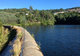
Jumping from stone to stone we will cross this small reservoir with the city’s drinking water. From there, we will take an asphalted track that will lead us along the road from Prisollo to the road to A Derrasa, which we will cross by an underground passage to begin the ascent to the village of Ceboliño.
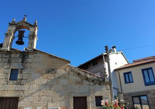
The slope is hard but worth it: from Ceboliño square we will enjoy spectacular views over the valley. While looking at the calvary and the emblazoned houses of this village, we will take the breath to continue the ascent through Camiño da Cal to Montealegre.
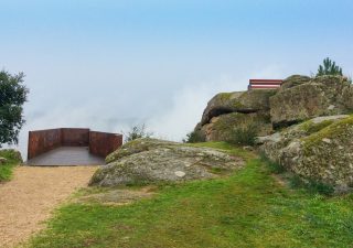
We will ascend the Montealegre slopes until reaching the area of the Botanical Park, crossing it to the highest point, a rock where a stone cross stands, replacing many previous ones. From here, another beautiful view of the city.
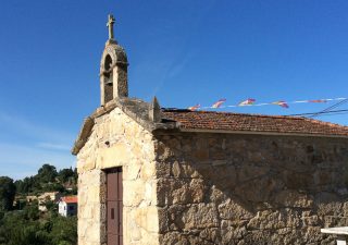
And from one viewpoint to another. A dirt track will take us from Montealegre to Santa Mariña, crossing the A Granxa road. We will be able to stop to rest at the stone tables next to the small hermitage, enjoying also impressive views before continuing the descent towards As Coruxeiras.
The chapel of this hamlet stands at a crossroads marked by a calvary. It is dedicated to Our Lady of the O.
A quiet stroll through this village, on the Way to Santiago, will make us relive past times, when agricultural work was the main daily activity of its inhabitants. This is borne out by its buildings and narrow streets, well preserved and with strong peasant roots.
Here we will take the old Royal Road back to find the Barbana river walk.
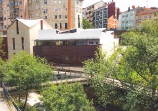
The way back to the urban centre will be done following the right margin of this tributary to river Minho through a river walk. Along the way we will find some abandoned mills and we will pass next to La Molinera, an old bakery turned into a digital literacy center that still retains its old chimney.

